
The main loop is just over 200km but there are options at 160km and 130km both have easier highway cut-offs if you find you’re done and want to get back. Check out CycleLogic’s Link My Ride profile for more details.
Start Time: 8:00am July 14 2024
Location: Memorial Park Lane in front of the Cemetery
Route Description: The route starts off with a mix of road and gravel with reasonable access before we pass by Buckhorn Lake and start to get into the wilderness around Prince George. There is water access if you bring a filter at 50km, 80km, 114km and 150km. There is highway access at 80km if you plan to have someone resupply you. Read a full description below.
Support: This is a self-supported ride. Feel free to start earlier if you feel you need the time or later if you feel you don’t need the time. There are many water sources available on this route if you bring a water filter. You are also responsible for your own mechanical needs and any pickup or communication that is needed on the route.
Note: The group will roll out together to start but may not stick together for the whole ride. Be ready to ride solo or bring a friend and stick together. Emergency communication is recommended.
Route Description
The route heads out of town crossing the Alex Fraser bridge, through the BCR, heading for the Willow Cale FSR, following what will be new trails for most, a mixture of gravel and road leads us to the start of the gravel proper at kilometre 14, here we head up out of the Fraser river valley and cross highway 97 at kilometre 19. From here we head towards Buckhorn lake, this section although flat can be loose, deep gravel and sometimes corrugated, it is rarely smooth!
After Buckhorn lake we take a left and start our first real climb of the day of 140m over 4.5km heading up to St. Marie Lake, then there’s a fast gentle descent until we cross the Willow river at kilometer 49.
From here we head towards Purden and the Bowron river via the Willow Coalmine FSR, a gentle rolling quiet road bringing us out on highway 16 at kilometre 80.
We cross the Bowron river via the highway and ride up past Purden Ski hill, our second major climb of the day at 140m over 8km, staying on the highway on a speedy descent until we finally leave the highway at kilometre 96, heading north on the major Bowron FSR. This FSR heading mostly downhill crosses the Bowron at kilometre 114. We almost immediately turn left onto the quiet Beaver FSR.
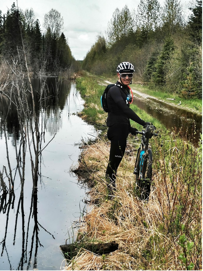
We will now stay on the Beaver FSR for the next 50 kilometers. This road changes its character immensely, from busy, well maintained FSR, to quiet pleasant double track to decommissioned road bed, and to proto beaver pond! You will never be bored!
Significantly there is a section of note, which starts at kilometre 140 with a very large deactivation ditch cut across the road bed, and a second one at kilometre 142, a dismount and careful scramble is required to navigate both of these obstacles.
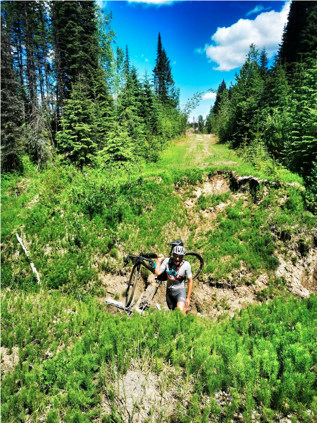
Between them is 2 kilometres of “green road” which depending on the season’s weather may be pretty wet, if so, expect to get wet feet!
At kilometre 144 we begin to reconnect with a more traveled road bed, although there are many potholes to navigate to keep it interesting! As the road improves it descends sharply to the Willow river, crossing over at a picturesque canyon, this brings us to our penultimate climb, 185m over 9km, which starts out pretty steep, on tired legs, this can be a grind!
At the top at kilometre 166 we rejoin pavement heading south towards the right turn onto East Shelly Road at kilometre 170, this road is mostly descent and is an absolute joy to ride, we drop into Shelly and rejoin our old friend the Beaver FSR heading towards Northwood Pulp Mill (If you take a right after the railway crossing a very short detour brings you to the Tano store, great for resupply, but seriously the burger and fries here are to die for!!)
Heading over the Fraser river and around the pulp mill we now get ready for our final climb, 187 kilometres in, there is a punchy 95m over only 1.3km, short and sweet as they say, that burger at Tano was recommended!
Now we have a mostly downhill cruise, finally crossing the Nechako, following around Cottonwood park and the Hudson’s Bay Slough back to our start/finish line.
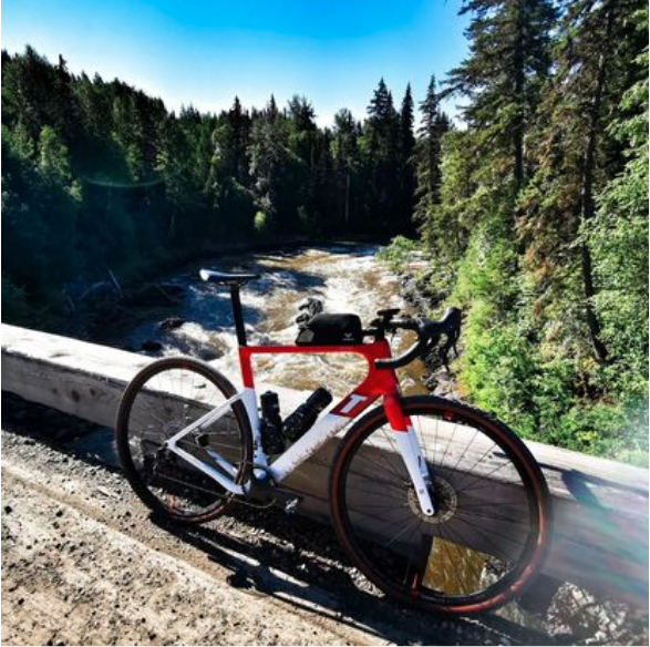
This is a classic Prince George route; forests, ranchland, rivers, lakes, wilderness, urban parks and industry. Oh and you’ll come to understand why it’s called Damned Beavers!
Estimated moving times to complete
Fastest 8 hours
Average 10 hours
Slowest 12 hours